
(Note: Dec. 21, 2014: For this winter, as long as it remains operable, the camera will show just three views a day — at approximately dawn, midday, and late afternoon. The view may sometimes be obscured by snow, ice, or clouds. Normal operation will resume when Trail Ridge Road reopens next spring.)
There is another webcam in Rocky Mountain National Park. This one is at the Alpine Visitor Center on Trail Ridge Road, and it looks like it was raining up there today.
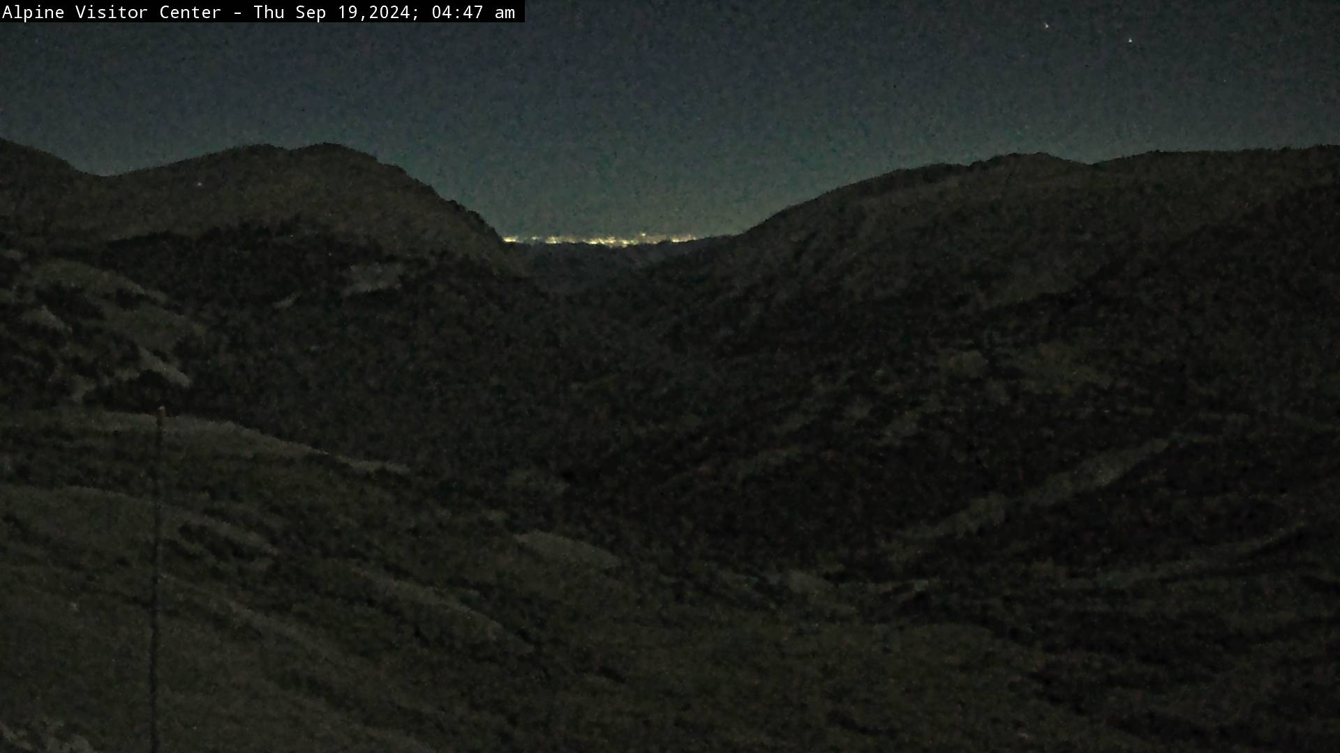
The Visitor Center sits astride Fall River Pass and is sort of a halfway house (restrooms, gift shop, coffee shop, etc.) for people traveling Trail Ridge Road, although it’s closer to the park’s west entrance and a bit north of the highest point on the road. This camera looks southeast down the Fall River drainage toward Estes Park.
This is the route the Ute and Arapaho tribes, trappers, and traders used to cross the Continental Divide back in the 1800s and earlier. The road visible along the left side of the valley is Old Fall River Road, the first automobile road that crossed the divide in this part of the state. It’s a one-lane dirt road, with steep grades and sharp switchbacks (no RVs or trailers here!), and it’s one-way up from Estes Park (7,500 ft.) to the Visitor Center (11,796 ft.). Round-trip travelers from Estes have to return via Trail Ridge Road, which is out of sight to the right; it runs more or less along the top of the rounded, tundra-covered ridge before dropping down into Estes. The old road was constructed by convicts between 1913 and 1920 and almost immediately was deemed inadequate. Trail Ridge Road, which incorporated part of the old road, replaced it in 1932.
From this vantage point, visitors can often see elk, sheep, or mountain goats grazing below. The snow visible in the meadow will melt and drain ultimately to the Mississippi River and Gulf of Mexico.
The original Visitor Center building was constructed in 1936, remodeled in 1938 and expanded in 1965. It was renovated in 2000 and 2001. The timbers on the building’s roof (see photos below) keep it from being ripped off by high winds.
Trail Ridge Road historically opens on Memorial Day weekend. The earliest the road has opened was May 7, 2002; the latest was June 26, 1943. It’s the highest continuous paved road in the United States, climbing to 12,183 feet, and connects the towns of Estes Park and Grand Lake. More than eight miles of the road lie above 11,000 feet. Wise travelers always bring jackets to these elevations, where bad weather can move in quickly. Cold, wind, rain, fog, hail, and even snow in July are not unusual.
Possibly the most interesting description of the construction of Trail Ridge Road I’ve ever read comes from Karl Snyder at RMNP.com:
Trail Ridge Road was designed to replace Fall River Road, which proved inadequate for modern motor travel as soon as it opened in 1920. Trail Ridge Road was designed to have more gentle grades, broader curves, and a greater variety of scenic experiences. The sunny, ridge-top location would also reduce snow accumulations and allow Trail Ridge Road to open earlier than its shady, snow-laden predecessor.
Trail Ridge Road was constructed between 1926 and 1932 through the collaborative efforts of the National Park Service and the Bureau of Public roads (now the Federal Highway Administration). Construction Crews had to contend with imposing terrain, harsh weather, short working seasons and stringent design criteria, which were intended to ensure that the road would “lie lightly on the land” displaying the region’s rich scenic diversity with minimal impact on the natural environment. Trail Ridge Road opened in July 1932, providing motorists with access to impressive, views, memorable wildlife viewing opportunities, and spectacular high mountain terrain.
GRADE: The road was designed with a ruling grade generally less than 5% and never exceeding 7%, less that half as steep as the Fall River Road.
TURN RADIUS: Minimum radii for open curves were 100′ and 200′ on blind curves. Many curves were designed to sweep across but not dominate the landscape.
ROAD WIDTH: Unlike the single-track Fall River Road, Trail Ridge Road was designed as a two-lane with a 22′ roadbed and 3′ ditches in cut sections.
ELEVATION GAIN: The roadway was largely built into the hillside, elevated on rock fill once it reached tundra. Long continuous curves were used to gain elevation.
PULLOUTS: The commodious stone-wall turnouts, often located on major curves, provided ample space for visitors to take in the views.
Then he talks about Trail Ridge Road at night:
Two-thirds of the world’s population can no longer look upwards at night and see the Milky Way — a hazy swath of stars that on warm summer nights spans the sky from horizon to horizon. The Milky Way is dimming, not because the end of the Universe is near, but rather as a result of light pollution: the inadvertent illumination of the atmosphere from street lights, outdoor advertising, homes, schools, airports and other sources. Every night billions of bulbs send their energy skyward where microscopic bits of matter — air molecules, airborne dust, and water vapor droplets — reflect much of the wasted light back to Earth.
Atop Trail Ridge Road at night you can still see the Milky Way as you are far from the city lights of the Front Range and above almost 50% of the earth’s atmosphere that reflects the light pollution. On a clear night take a late evening ride and enjoy one of nature’s greatest light shows. Be sure to dress warmly and give your eyes a chance to adjust after you exit your vehicle. Can you find the Big Dipper, North Star, Orion, Sirius (the brightest star) and Virgo. You may have forgotten how many stars your can see: billions and billions.


Escapism: Driving up Old Fall River Road on a rainy day:
–
The lay of the land (click twice for larger map):

Oh, my favorite spots! I need this today – THANKS
I needed it too, in the worst way. I spent most of the day putting this together — my mind up there instead of down here.
we all need to focus on better places. Sent the link to several friends who also enjoyed it – so you brightened our day!
As I said, I personally was desperate for a day brightener. Glad to know others enjoyed the ride too.
The high in Joplin today is predicted over 100 degrees, and I can’t remember when we had rain last. Sigh. Thanks for the vicarious side trip, PT.
My pleasure. I got absolutely lost in that video. I could smell the rain and wet pines, hear my jacket rustle as I turned the wheel on those tight curves …
been there done that it was awesome next time on my bike
That would be doubly awesome.
Not sure why this morning, but had to find this post with the clip of going up the old road– think i will have to get a ‘go pro’ and take a full drive myself next season! Good break from reality this morning. Thanks for keeping these links alive!!
Glad you found and enjoyed it. As for keeping the links alive, it’s more luck than anything else. I try to fix broken ones when I come across them, but its impossible to police more than ten years’ worth of posts. Older links die because the party at the other end doesn’t maintain the page or makes changes or whatever, and there’s not much I can do about that.
It would be great fun to record your own drive. Then you could really re-live your experience. I hope the need to bring in heavy equipment to repair the flood damage doesn’t change the character of the road too much — with all the trees right up to the edge, etc.